
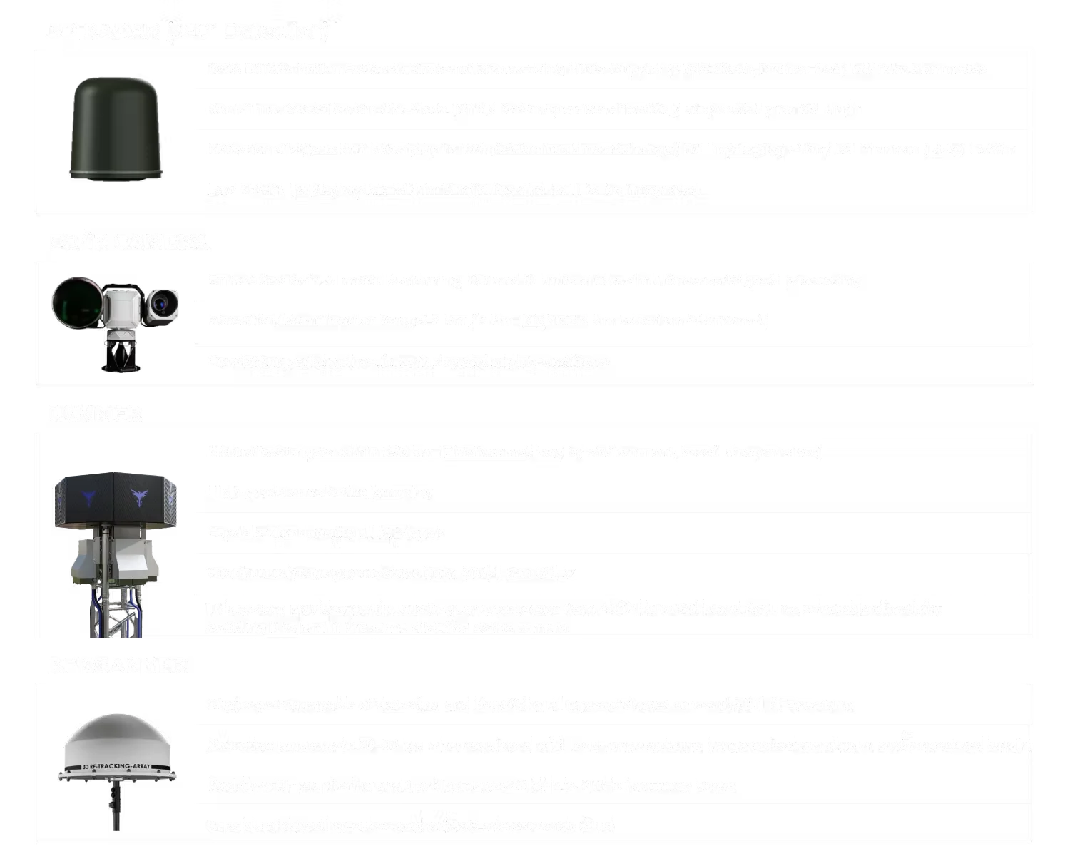
Radar Detection & Tracking
Radar is a core sensor for detecting and tracking drone movements in the surrounding airspace. Target information is passed to command and control to support awareness of drone positions and flight paths.
05 / DEFENSE & ANTI-DRONE
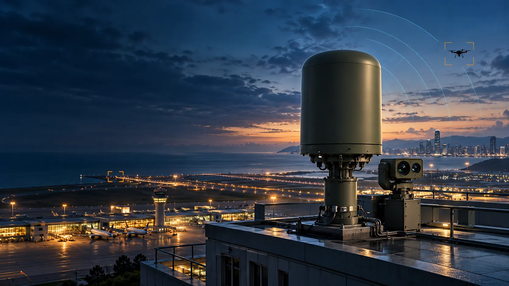
RADAR-LED AWARENESS
From radar detection to a shared picture.
Multiple sensors, one connected workflow.
01 / GLOBAL DEFENSE COOPERATION
We are jointly pursuing a range of maintenance, repair and overhaul (MRO) projects with allied European countries. This cooperation also includes joint development, localized production, imports and exports.
02 / ANTI-DRONE
Protecting critical facilities starts with detecting nearby drones and understanding their movements. We present anti-drone systems that combine radar, EO/IR cameras and RF scanners, bringing drone positions and flight paths into central command and control. The scope can range from standalone detection and surveillance to integration with existing security systems, with configurations and adoption terms defined for each facility.
Operators of airports, seaports, power plants and critical industrial sites, public agencies responsible for urban safety, and security authorities for military and government facilities, among others.
Radar is a core sensor for detecting and tracking drone movements in the surrounding airspace. Target information is passed to command and control to support awareness of drone positions and flight paths.
Electro-optical and infrared cameras provide imagery of detected targets. Combining this view with radar information supports drone identification and understanding of the situation.
Radio-frequency scanners contribute signal information alongside radar and imagery. Information from different sensors supports drone detection and identification.
Drone flight paths and sensor information are brought into central command and control (C2). This supports operator awareness and response decisions in coordination with the facility’s security systems.
03 / DETECT, TRACK & CONTROL
Detection is the starting point. The system connects information about a drone’s location and flight path so that on-site teams and central control can work from a shared picture.
Radar and RF scanners provide information on nearby drone movements and signals.
EO/IR imagery and sensor information support drone identification and flight-path tracking.
Location and flight-path information is shared with central control for a common view of the situation.
Operators use the shared picture to coordinate an appropriate response with the relevant authorities.
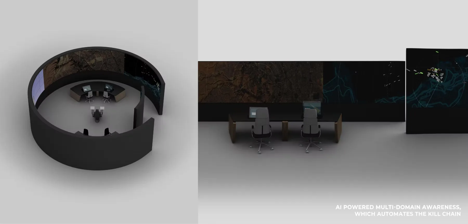
COMMAND & CONTROL
Radar, camera and RF scanner information is brought together to understand drone location and movement. System configuration can be discussed around each facility’s monitoring needs and operating structure.
From a standalone detection and surveillance configuration to central-control integration.
WHERE IT MATTERS
Monitor drone activity around aviation and logistics facilities and support the operator’s situational awareness.
Detect nearby drone activity and inform security and control operations at critical facilities.
Bring together drone information from monitored areas and share it between local teams and central control.
Technical architecture and application areas are based on DAMITA’s official product information. Supply, installation and operating scope in Korea will be defined through facility-specific discussions. View official source ↗
04 / BUSINESS MODELS
Explore the customer, service
and revenue logic of each model.
05 / INVESTMENT & PARTNERSHIPS
The business extends from the supply of radar-based detection and control systems to sensor and software upgrades and long-term maintenance. We address both new deployments and expansion at existing facilities, and discuss contractual arrangements, including leasing and operating support, to agree upon the terms suited to each institution’s requirements.
Define detection and command-and-control scope around the facility’s protection needs and existing security systems. Establish site validation requirements and an adoption schedule.
Agree upon the radar and sensor supply terms, financing arrangements, the period of use and maintenance responsibilities. Discuss each participant’s contractual scope and funding requirements.
Bring together capabilities in sensor and command-and-control integration, equipment inspection and software updates. Define support and operating plans for continued system maintenance after deployment.
INVESTMENT & STRATEGIC PARTNERSHIP
Investment, experience, technology and operational expertise are essential for achieving business growth. Find the role you can play.
Discuss investment in this businessPropose a technology or field partnership